
Edition 2 From Forest to Fjaeldmark 1
Edition 2
From Forest to Fjaeldmark
The Vegetation Communities
Other natural env ironments
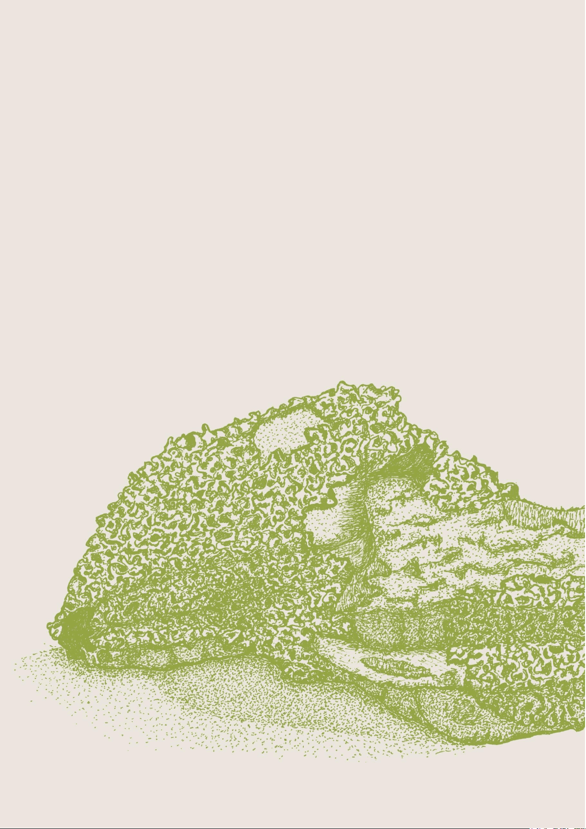
Lichen lithosere

Study with the several resources on Docsity

Earn points by helping other students or get them with a premium plan

Prepare for your exams
Study with the several resources on Docsity
Earn points to download
Earn points by helping other students or get them with a premium plan
Community
Ask the community for help and clear up your study doubts
Discover the best universities in your country according to Docsity users
Free resources
Download our free guides on studying techniques, anxiety management strategies, and thesis advice from Docsity tutors
Information about three mapping units, Lichen lithosere (ORO), Sand, mud (OSM), and Water, sea (OAQ), in the vegetation communities of Tasmania. the general description, distinguishing features, and distribution of each mapping unit, as well as management issues and related university topics. It is important for students and researchers studying ecology, botany, and environmental science, particularly those focused on Tasmanian flora and vegetation.
What you will learn
Typology: Lecture notes
1 / 7

This page cannot be seen from the preview
Don't miss anything!
Lichen lithosere
Community (Code) Page
Lichen lithosere (ORO) 3
Sand, mud (OSM) 5
Water, sea (OAQ) 6
General description
Lichen lithosere (ORO), Sand, mud (OSM), and Water, sea (OAQ) are the mapping units in this group.
Lichen lithosere (ORO) is important for undisturbed cryptogamic communities, such as on blockstreams, cliffs, talus and scree slopes and exposed bedrock on mountain tops and ridges.
Sand, mud (OSM) is bare of vegetation, has been used for mapping beaches, sand dune systems, and mobile sand sheets such as those at Waterhouse in north-east Tasmania or at Sandy Cape on the west coast.
Water, sea (OAQ) has been used to designate areas of sea, artificial impoundments such as Lake Gordon, Lake Saint Clair and Lake Pedder, as well as deep water in natural lakes. However, shallow waters in natural lagoons and wetlands are assigned to communities within the sectionSaltmarsh and wetland.
General management issues
There has been little botanical exploration of the cryptogamic flora in the Lichen lithosere (ORO) mapping unit, except on some mountain tops in south-western Tasmania. Any quarrying, removal of
surface boulders and other disturbances of the surface layer of rocks needs to be preceded by a reconnaissance of the microflora and consideration of conservation measures. Slope grooming for ski field development has impacted on lichen fields (Kantvilas 1995, 2000).
References and further reading Kantvillas, G. (1995) Alpine lichens of Tasmania’s south- west wilderness.Lichenologist. 27, 433–449. Kantvillas, G. (2000) Conservation of Tasmanian lichens. Forest Snow Landscape Research. 75: 3, 357–367. Rudman, T. (2003) Tasmanian beach weed strategy for marram grass, sea spurge, sea wheatgrass, pyp grass and beach daisy.Nature conservation report 03/2. Nature Conservation Branch, Department of Primary Industries, Water and Environment, Hobart. Pinkard, G.J. (1980)Land systems of Tasmania region 4. Tasmanian Department of Agriculture, Hobart. Richley, L.R. (1978)Land systems of Tasmania region 3. Tasmanian Department of Agriculture, Hobart. Sustainable Development Advisory Council (1996)State of the Environment Tasmania, volume 1. Conditions and Trends. Compiled by the State of the Environment Unit, Land Information Services, Department of Environment and Land Management, Tasmania.
General description
These areas may appear as blockfields, scree slopes, cliffs and slabs largely devoid of vascular plants, except occasionally between boulders and in crevices. The rock types underlying this community are mainly quartzite in western Tasmania, dolerite in central and eastern Tasmania, and granite in north- eastern Tasmania. Most of ORO has sometimes- diverse cryptogamic crust. Lichens are the most prevalent life forms, but in wetter areas mosses become more significant and can become dominant.
Little Dog Island. Stephen Harris.
Example locality
Mount Strzelecki, Flinders Island.
Distinguishing features and similar communities
The cover of vascular plants is less than 5% for areas mapped in this community.
RFA mapping unit
Not covered by RFA mapping.
Distribution
Throughout Tasmania.
Bioregional occurrence All bioregions.
Site characteristics, habitat and ecology
Large areas of lichen lithosere occur on granite slabs, tors and boulder fields in eastern Tasmania from Freycinet Peninsula to the Furneaux Group. The extensive areas of lichen lithoseres in eastern and central Tasmania, occur on dolerite, which provides the most fertile substrate. The meta-sediments of western Tasmania, the most infertile of the lithosere substrates, are exposed as cliffs and mountain tops. A cryptogamic crust covers the apparently bare rock, with vascular plants confined to crevices and depressions in the granite.
Vegetation composition and structure By far the most diverse and widespread plant groups in this mapping unit are cryptogams. Exposed rock surfaces tend to be very extensively colonised by lichens. Crustose and thallose lichens are particularly prevalent, often forming a surface cover well over 50%. Covers of up to 100% are not unusual. Crustose lichens are usually the dominant life form, but unfortunately, their taxonomy is relatively poorly documented. Some species are conspicuous and brightly coloured, e.g. the speckled green of Rhizocarpon geographicum on inland and especially
highland rocks, or the vivid orange ofCaloplaca spp. on coastal rocks. However, by far the most diverse are the inconspicuous species, often discernible only with a hand lens. These includePorpidia,Lecidea, Buellia andRhizocarpon as typical genera.
The occurrence of macrolichens is more sporadic. On granites, large numbers of species of the family Parmeliaceae are frequently represented, especially the generaXanthoparmelia andNeofuscelia (foliose green or olive-brown lichens). In alpine areas, macrolichens often grow only on the apices of large boulders where birds perch and fire protection is greater.Usnea torulosa,Parmelia signifera and Umbilicaria spp. are typical.
Soil-filled crevices in rocky places are also usually extensively colonised, mainly by genera that also occur on soil in heathland or other open vegetation, such asSiphula, Cladonia andCladia.
Significant floristic differences between the major rock types can be discerned. Precambrian metamorphics tend to have the poorest flora, whereas dolerite tends to support the richest.
Mosses are also important in damp areas and can be the dominant life form on shaded slopes in high rainfall areas, where free-living algae and cyanobacteria species may also occur.
On granite and granodiorite, the sedgesGahnia microstachya andLepidosperma elatius may colonise bare siliceous gravel between boulders. Soakage areas, gnamma pits and runnels (all undetectable on aerial photos) have a diverse and specialised flora of small vascular and non-vascular plants.
In Freycinet National Park, scattered trees of Eucalyptus tenuiramis, Callitris rhomboidea, Hakea lissosperma andEucalyptus amygdalina may grow between boulders or in deep fissures, but their canopy may be confined by rock and therefore be less visible in aerial photographs. On the quartzite mountains in western Tasmania, the vascular flora is limited to protected areas in the lee of boulders and in deep crevices where there is less exposure. Similarly, on dolerite mountains some vascular flora may be present in fissures, under boulders and in protected areas.
Floristic communities known to occur in this mapping unit
No systematic assessment has been undertaken of these environments.
General description
These are areas of fresh or saline water where there are no emergent aquatic plants. OAQ includes natural and artificial water bodies. The only vascular plant communities may be marine seagrass beds, which have not been mapped separately from OAQ.
Hobart Reservoir, Ridgeway. Nepelle Temby.
Example locality
Lake Gordon.
Distinguishing features and similar communities
Permanent standing water, rather than vascular species, distinguishes this mapping unit. All areas of open sea are included in this unit, including areas vegetated by macrophytic algae and seagrasses.
RFA mapping unit
Not covered by RFA mapping.
Distribution
Throughout the State.
Bioregional occurrence All bioregions.
Site characteristics, habitat and ecology
Estuarine embayments and deep impoundments are included in this mapping unit. Vascular flora may be present, but is not used to characterise this mapping unit.
Vegetation composition and structure
In freshwater areas, the vegetation is predominantly planktonic. Planktonic communities at some sites comprise unique assemblages of species. In marine areas, planktonic vegetation is also significant, and marine macroalgae or seagrass communities may also be present. Descriptions of these highly diverse communities are beyond the scope of this guide.
Floristic communities known to occur in this mapping unit
The scientific literature on marine, subtidal and deep freshwater ecosystems should be consulted for further information.